Delivered XSCDAI Geohazard
XSCDAI Geohazard
Monitoring System
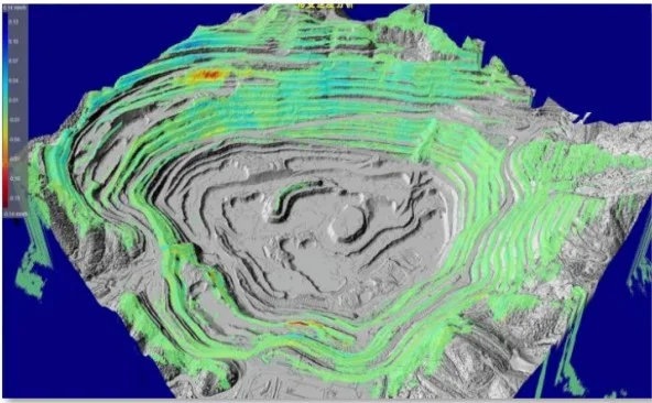
Monitoring of landslides, debris flows, ground subsidence and road and bridge deformation. Remote sensing satellite data and ground sensor data return over LEO satellite, and AI models carry out assessment and early warning.
8
Remote sensing satellites available
12
Types of ground monitoring devices
15km
Gateway collection radius
0.1mm
Slope radar deformation accuracy
Four-layer architecture
Platform applicationsAI models for hazard assessment and prediction, contingency-plan execution agents, GIS visualization, monitoring hall, command and dispatch
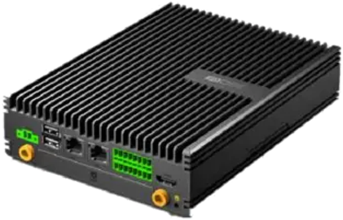
Communication backhaulLPWAN gateway: LoRa + NearLink SLE 1.0 network, collecting within a 15 km radius; Geespace LEO satellite + 4G backhaul
Ground-based detailed surveyGNSS, slope radar, displacement meters, crack meters, inclinometers, rain gauges, soil moisture meters, pore water pressure gauges, groundwater level meters, borehole inclinometers, cameras, UAVs
Space-based general surveyOptical and SAR remote sensing satellites: InSAR subsidence, DEM / DOM, land cover, geological structure
Remote sensing satellites
High-accuracy digital elevation models, orthophotos and land cover classification provide a common spatial reference for risk zoning and hazard-point screening.
| Available satellites | Capability |
|---|---|
| Dongfang Huiyan-01 | Better than 0.5 m, 1 + 4 bands |
| Motong-2 01 | 1 m, 1 + 10 bands |
| Weihai-1 | 1 m, integrated communication and remote sensing |
| Hainan-1 01 | 5 m, 110 km swath |
| Hainan-1 02 | Better than 1.55 m |
| Ocean color microsatellite | 20 m, 8 bands |
| Jingshi-1 | 74 m, 480 km swath |
| Tianmu-1 | Atmospheric profiles, sea-surface wind fields; 23 satellites |
Detectable hazards
LandslidesDebris flowsGround subsidenceBuilding deformationRoad and railway deformationBridge collapseMine safetyLakes and riversFires
Monitoring system projects
Tell us the monitored objects, area, sensor types and backhaul conditions.